
Geospatial Intelligence Hub — Suriname
Overview & Challenge
Suriname's land-use, conservation, and environmental decisions depend on spatial data that has historically been scattered across institutions, formats, and standards. The Geospatial Intelligence Hub initiative set out to change that, beginning with the essential first phase: designing the institutional framework, technology infrastructure, and processes for a centralized national geospatial environment where decision-makers can find, trust, and act on the country's spatial information.
Effective planning requires every institution to work from the same authoritative spatial picture. Before any platform could be built, the country needed a clear institutional and governance design, defining data ownership, update rights, standards, and institutional responsibilities so a future hub would be trusted, usable, and sustainable.
My Role & Approach
As Director of GISsat, I served as Institutional Design Expert on the project, working within the GISsat–CODEX (Brazil) consortium alongside international experts. My focus was the institutional framework and governance model that underpins the hub: translating the planning and environmental mandates of the Ministry of Spatial Planning and Environment (ROM) and the National Environmental Authority (NMA) into a coherent structure of data ownership, responsibilities, standards, and processes.
The team worked from institutional need toward technical design: engaging stakeholders across the spatial-planning and environmental mandate, defining a centralized data-governance framework, and specifying the technology infrastructure and processes required for a future centralized hub. The design emphasized standardization, interoperability, and long-term sustainability, so the eventual platform can grow with additional data and application layers over time.


Solution & Live Proof of Concept
The project delivered the institutional design, technology infrastructure blueprint, and operational processes for the Geospatial Intelligence Hub: the foundations on which the platform itself will be built in a future phase, when the Government re-engages with the IDB.
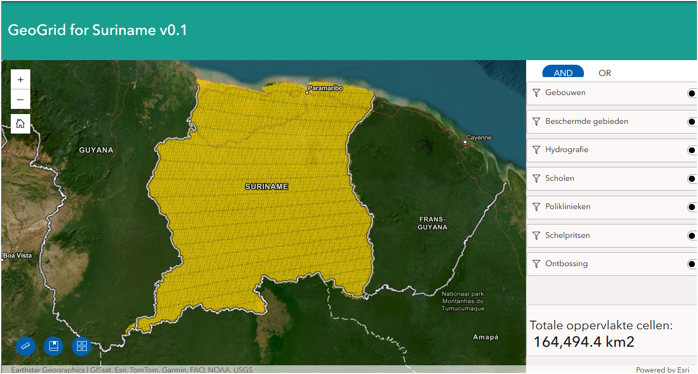
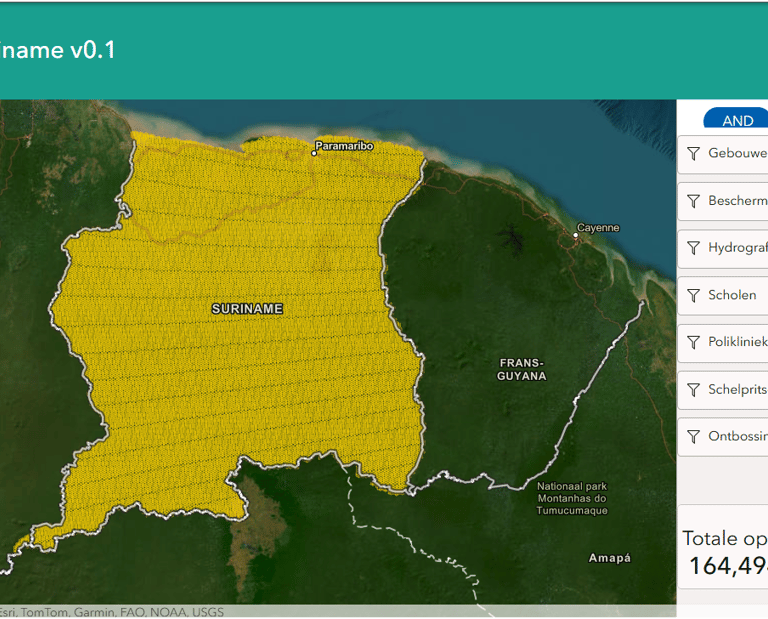
To demonstrate the concept in practice, GISsat developed and published GeoGRID, a live, working proof of concept ("Geogrid for Suriname v0.1") on the public SurinameOnline ArcGIS portal, showing how Suriname's spatial data can be centralized and made accessible. Explore it at surinameonline.maps.arcgis.com.
Results & Timeline
Delivered under the IDB technical-cooperation program (project SU-T1146, 2021–2023), the project completed the institutional and technical design phase for the Geospatial Intelligence Hub. Public milestones included the first National Geospatial Intelligence Hub workshop on 12 October 2023 and a public completion event later in 2023. GeoGRID provides a tangible, publicly accessible demonstration of the concept, with the full Hub positioned as the next phase.
Technologies
Esri ArcGIS platform technologies, including ArcGIS Hub and ArcGIS Online, consistent with the public SurinameOnline ArcGIS environment on which GeoGRID is hosted.
Strategic Value
The initiative gives Suriname the institutional and technical foundation for a key piece of national digital infrastructure: a future single, authoritative geospatial environment that strengthens spatial-planning legislation, environmental stewardship, and evidence-based policy. It shows how disciplined institutional design turns fragmented data into a national decision-making asset.
Partners
Inter-American Development Bank (IDB) · Ministry of Spatial Planning and Environment (ROM) · National Environmental Authority (NMA) · GISsat · CODEX (Brazil).

